This webpage is not updated over the weekend/overnight. For up-to-date information on traffic impacts, visit 511mn.org.
About this project
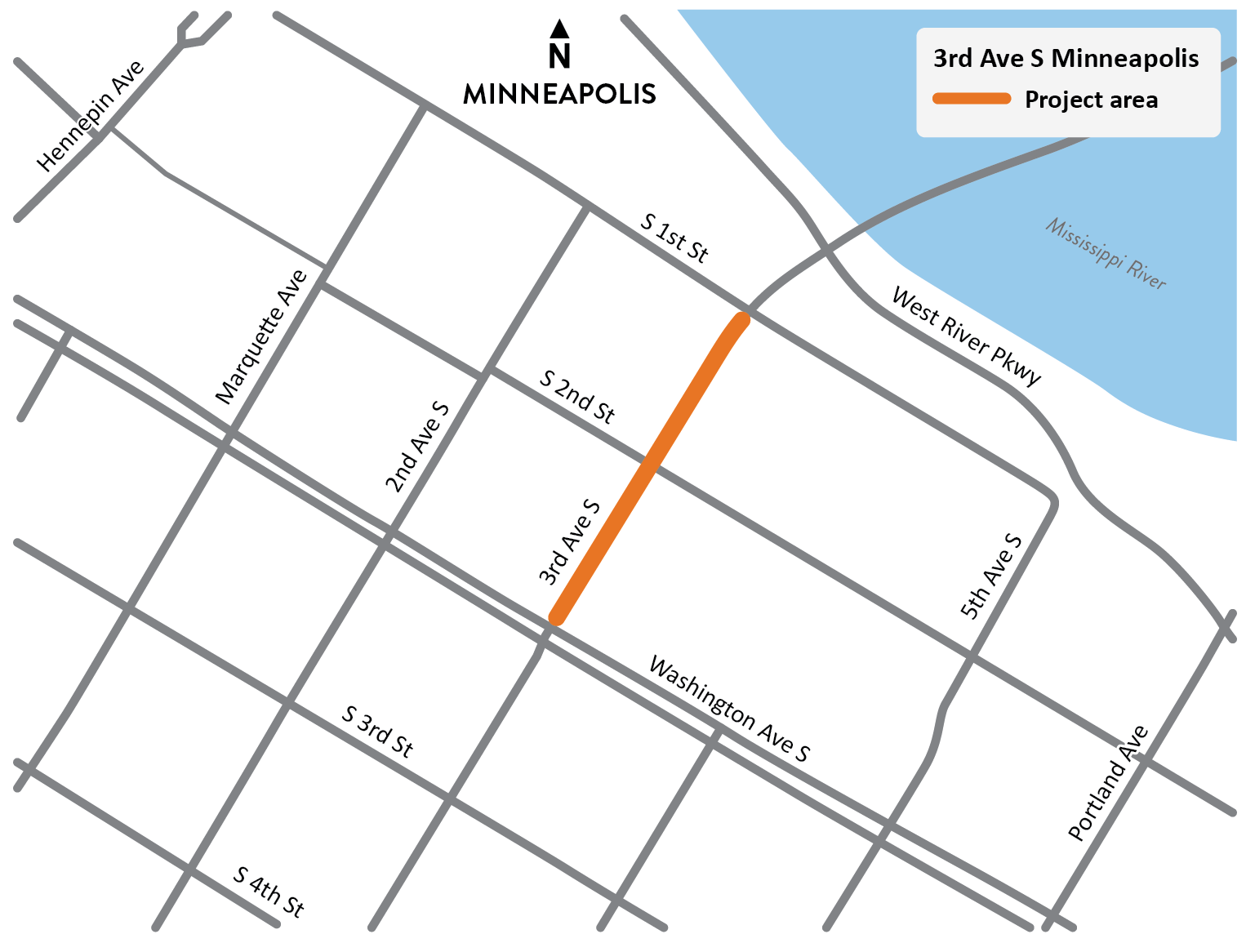
View full-size map
We are working to improve safety for people walking and biking on 3rd Ave. South (Hwy 65) between Washington Ave. and 1st St. South in Minneapolis by separating bike lanes from traffic lanes, reducing pedestrian crossing distances at crosswalks, and improving sight lines for both pedestrians and motorists.
This section of 3rd Ave. South is a key connection to the 3rd Ave. Bridge over the Mississippi River linking downtown, northeast, and southeast Minneapolis. It is designated as part of the Regional Bicycle Transportation Network (RBTN) by the Metropolitan Council and has been identified by the City of Minneapolis as part of its pedestrian and bicycle networks.
Summary of work
- Resurface 3rd Ave. South
- Safety improvements with construction of protected intersections and curb extensions to reduce crossing distance
- Accessibility improvements
- Curbline realignment
- Construct protected bike lanes
- Signal system replacement
Traffic impacts
All traffic impacts are tentative and weather dependent. Access to businesses and residences will be maintained throughout the project.
Upcoming
Information about upcoming traffic impacts will be provided as details become available. Motorists can expect lane closures and 2nd St. access to 3rd Ave. closure during construction.