The state’s transportation needs and priorities are determined through a comprehensive, performance and risk-based planning process.
Long-term goals
This process begins with our 50-year Minnesota GO Vision for Transportation. The vision and guiding principles are intended to inform the investment and service decisions of all agencies responsible for transportation planning, construction and delivery in Minnesota.
We update the 20-year Statewide Multimodal Transportation Plan every five years to articulate policy objectives and strategies necessary to support the vision over the next two decades.
Modal plans
Our family of plans is developed to further guide how we invest in highways, freight, rail, ports and waterways, aviation, transit, bikes, and pedestrians.
System Investment Plans offer mode-specific strategies and guidance, establish performance measures and performance-based needs, conduct risk-based assessments and investment tradeoffs, and identify system priorities.
Capital Highway Investment Plan
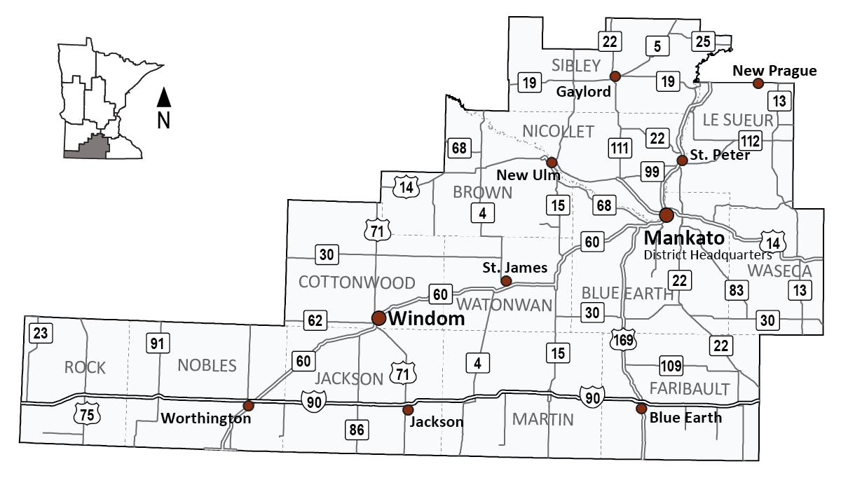
District 7’s 10-Year Capital Highway Investment Plan (PDF) 2026-2035 communicates the next 10 years of planned projects in the district. The planned projects align with the goals and objectives set in the Minnesota 20-Year State Highway Investment Plan (MnSHIP).
Over the next 10 years, District 7 is projected to invest roughly $997 million in state highway projects. These projects will address pavement and bridge condition, roadside infrastructure (signage, culverts, and lighting), safety improvements, and pedestrian and bicycle infrastructure.
Additional resources
South Central Minnesota Area Transportation Partnership
We created area transportation partnerships (ATPs) more than three decades ago in response to changes in federal law that increased state flexibility and the need for public involvement in transportation planning and program decision-making. ATPs were established by each district specifically to facilitate broader input to the federal project selection process for the development of the State Transportation Improvement Program (STIP), the four-year program of state and local construction projects with federal highway and transit funding, as well as projects with state funding.
The South Central Minnesota Area Transportation Partnership is organized along MnDOT District 7 boundaries and includes all the counties in the district. In addition to MnDOT District 7 staff, representatives from cities, counties, other agencies and industry are included in the ATP. Through the ATP, these organizations are responsible for reviewing the district’s proposed four year construction program and recommend local transportation priorities for federal funding.
Tribal governments
While there are no tribes located in District 7, our Tribal Affairs staff does consult with tribes annually to discuss transportation issues and projects in other areas of the state.
Mankato/North Mankato Area Planning Organization
Metropolitan planning organizations (MPOs) lead the development of area transportation plans and coordinate the transportation planning process. All urban areas with populations greater than 50,000 are required by federal law to have an MPO if the agencies spend federal funds on transportation improvements. There is one MPO in District 7.
The Mankato/North Mankato Area Planning Organization (MAPO) is the MPO for the planning area encompassing the city of Mankato, North Mankato and surrounding urbanized areas. The MAPO is Minnesota’s newest MPO; it was established in 2012 as a result of the area reaching a population of greater than 50,000 in the 2010 U.S. Census.
Regional development organizations
There are 12 regional development organizations (RDOs) in Minnesota. They provide technical assistance to local units of government in their region. They perform a variety of unique services based on the needs of their region and partner with numerous state and federal agencies, including MnDOT.
MnDOT District 7 is served by the Southwest Regional Development Commission (SRDC) and the Region 9 Development Commission .
Toward Zero Deaths
Toward Zero Deaths (TZD) is a multi-agency partnership led by the Minnesota Departments of Transportation, Public Safety and Health, in cooperation with the FHWA, Minnesota county engineers, the UMN Center for Transportation Studies, and other traffic safety organizations. The South Central Minnesota Toward Zero Deaths program began in 2008 and includes all the counties in District 7.
TZD provides an integrated approach to the application of education, engineering, enforcement and emergency medical and trauma services. The goal is to raise awareness around traffic safety issues and develop tools that can be used to reduce the number of deaths and injuries resulting from traffic crashes in Minnesota.