Congressional District 5
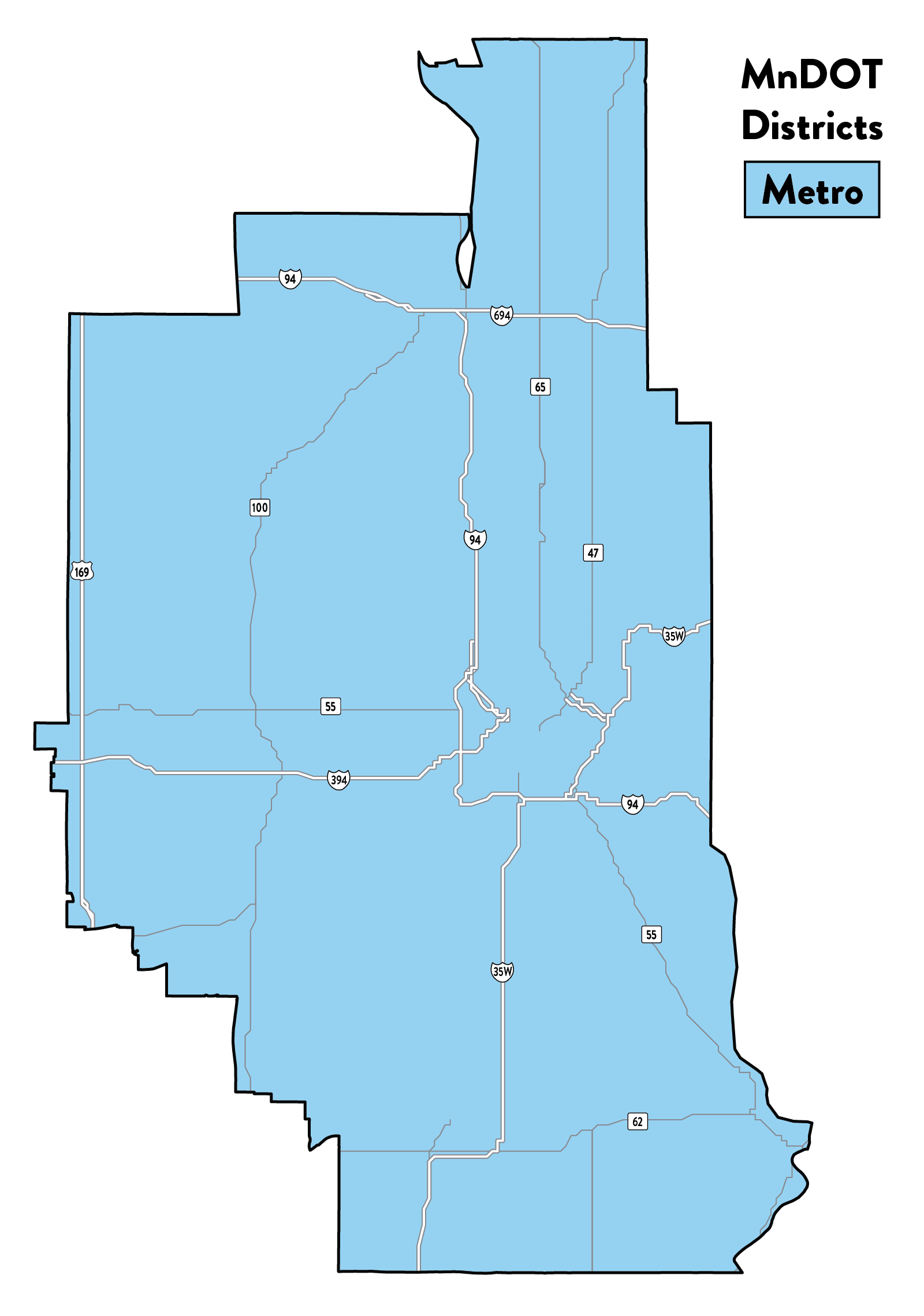
Congressional District 5 includes the entire City of Minneapolis, as well as portions of Anoka and Ramsey counties. It is located entirely within MnDOT Metro District. Interstate highways I-94, I-694, I-394, and I-35W pass through the district.
Key stats
- Trunk highway centerline miles: 113
- Trunk highway lane miles: 597
- Trunk highway bridges: 380
- Public rest areas: 0
- Active railway miles: 107
- Public airports: 2
Counties
- Anoka (shared with Congressional District 3 and Congressional District 6)
- Hennepin (shared with Congressional District 3 and Congressional District 6)
- Ramsey (shared with Congressional District 4)
Projects, planning, and partnerships
The state’s transportation needs and priorities are determined through a comprehensive, performance and risk-based planning process.
Long-term goals
This process begins with our 50-year Minnesota GO Vision for Transportation. The vision and guiding principles are intended to inform the investment and service decisions of all agencies responsible for transportation planning, construction and delivery in Minnesota.
We update the 20-year Statewide Multimodal Transportation Plan every five years to articulate policy objectives and strategies necessary to support the vision over the next two decades.
Modal plans
Our family of plans is developed to further guide how we invest in highways, freight, rail, ports and waterways, aviation, transit, bikes, and pedestrians.
System Investment Plans offer mode-specific strategies and guidance, establish performance measures and performance-based needs, conduct risk-based assessments and investment tradeoffs, and identify system priorities.
Capital Highway Investment Plan (CHIP)
The 10-year Capital Highway Investment Plan (CHIP) communicates the next 10 years of planned projects on the state highway network. The CHIP is updated yearly to remove projects that are currently being constructed, adjust timing of existing planned projects and add new planned projects. The projects planned align with the goals and objectives set in the Minnesota 20-Year State Highway Investment Plan (MnSHIP).
Over the next 10 years, we are projected to invest roughly $16.3 billion in state highway projects. These projects will address pavement and bridge condition, roadside infrastructure (signage, culverts, and lighting), safety improvements, pedestrian and bicycle infrastructure, and more.
State Transportation Improvement Plan (STIP)
The State Transportation Improvement Program (STIP) is a federally required public document which lists our investment program for the next four years. The STIP includes all state and local transportation projects that use federal highway and/or federal transit funding. It also agency or includes any regionally significant transportation projects that require an action by the Federal Highway Administration (FWHA) or the Federal Transit Authority (FTA), whether funding is anticipated from either not. The STIP is developed on an annual basis and is updated throughout the year to reflect significant changes in the program.
Project selection
Learn more about how we select highway construction projects.
State Aid for Local Transportation
State Aid for Local Transportation (SALT) actively partners with Minnesota’s local governments to plan, build, and maintain a safe, accessible, and dependable transportation system that supports communities across the state – from small towns to urban centers. SALT administers both state and federal transportation funds, including those supporting the County State Aid Highway (CSAH) and Municipal State Aid Street (MSAS) systems. SALT has delegated authority from the Federal Highway Administration (FHWA) to oversee key aspects of federally funded projects, including the environmental review process, plan and specification development, contract letting, construction oversight, and project finalization.
In addition to funding, SALT provides technical expertise, resources, and strong advocacy to support local agencies. These efforts help maintain the vital connections that link Minnesota's communities to markets, schools, and homes.
The Metropolitan Council and Transportation Advisory Board
We created area transportation partnerships (ATPs) more than three decades ago in response to changes in federal law that increased state flexibility and the need for public involvement in transportation planning and program decision-making. ATPs were established by each district specifically to facilitate broader input to the federal project selection process for the development of the State Transportation Improvement Program (STIP), the four-year program of state and local construction projects with federal highway and transit funding, as well as projects with state funding.
This region’s area transportation partnership is different than others in that it operates within the region’s metropolitan planning organization (MPO), the Metropolitan Council. The Transportation Advisory Board (TAB) is a key participant in the region's transportation planning process. The TAB was created by the state legislature in 1974 to perform transportation planning and programming for the Twin Cities metropolitan area, as designated by state and federal law. It is a 34-member body, composed of 17 elected city and county officials, five representatives of government agencies involved in transportation issues, eight citizen members, and four members who represent transportation modes, such as transit, freight and non-motorized modes.
The transportation planning process is based on Minnesota statutes and federal rules and regulations on urban transportation planning. As the region's federally-designated MPO, the Metropolitan Council and TAB are responsible for the continuing, cooperative, and comprehensive transportation planning process in the Twin Cities Metropolitan Area. This qualifies the region for federal transportation planning, operating and construction funds which are primarily distributed through the Regional Solicitation.
Tribal governments
There are 11 Tribal Nations in Minnesota. Each tribe has an independent relationship with the federal government and the State of Minnesota. We are committed to working with the tribes through consultation, coordination and cooperation. For more information on our commitment to developing, improving and maintaining collaborative relationships with the Tribal Nations of Minnesota, see our Tribal Nations Government-to-Government policy.
There are no tribal lands in Congressional District 5, but our Tribal Affairs staff consult with tribal governments annually to discuss transportation issues and projects in other areas of the state.
Toward Zero Deaths
Toward Zero Deaths (TZD) is Minnesota’s cornerstone traffic safety program, employing an interdisciplinary approach to reducing traffic crashes, injuries and deaths on our roads. It is a multi-agency partnership led by the Minnesota Departments of Transportation, Public Safety and Health in cooperation with the FHWA, Minnesota county engineers, the UMN Center for Transportation Studies and other traffic safety organizations.
Within the statewide effort, there are eight TZD regions that align with the eight MnDOT districts. Congressional District 5 is covered by the Metro TZD region. Our goal is to use regional crash data to identify factors leading to fatal and serious injury crashes and work with constituents to implement proven countermeasures.